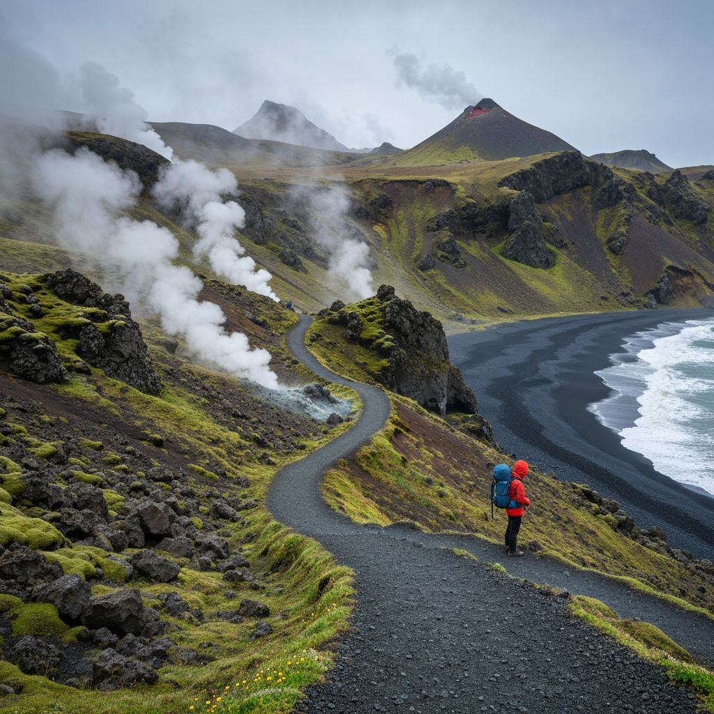
In an era where many classic hiking trails struggle with overcrowding and environmental degradation, Iceland's Laugavegur Trail offers something increasingly rare: a genuine wilderness experience that still maintains accessibility for properly prepared hikers. Spanning 55 kilometers between Landmannalaugar and Þórsmörk, this four-day trek traverses landscapes so otherworldly that NASA used the region to train Apollo astronauts for lunar missions.
The Route: Four Days Through Geological Time
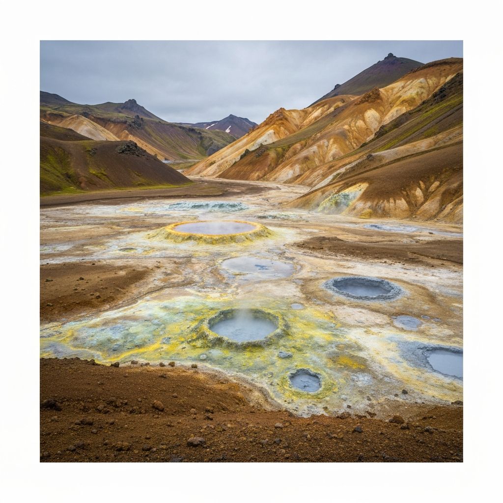
The trail begins at Landmannalaugar, a geothermal wonderland where hikers traditionally soak in natural hot springs before shouldering their packs. Day one climbs through rhyolite mountains streaked with mineral deposits that create a painter's palette of rust, green, yellow, and black. The volcanic rock here is so sharp that it requires careful foot placement even on established paths. By afternoon, you'll cross the obsidian fields of Hrafntinnusker, where the landscape shifts from colorful to stark black, offering a glimpse of what early Earth might have looked like before vegetation established itself.
Technical Considerations: When Weather Becomes the Fourth Dimension
Iceland's weather is notoriously volatile, and the Laugavegur Trail experiences all four seasons in a single day. During our late July trek, we encountered 2°C temperatures with horizontal rain on day two, followed by sunny 18°C conditions just hours later. This volatility demands a sophisticated layering system and the ability to make real-time adjustments. We carried a combination of Arc'teryx's Beta LT jacket for weather protection, Houdini's Power Air fleece for insulation, and Patagonia's Capilene base layers for moisture management. The key insight: overheating from insufficient ventilation is as dangerous as hypothermia, making pit-zips and full-zip layers essential rather than optional features.
Hut Culture: Iceland's Approach to Wilderness Infrastructure
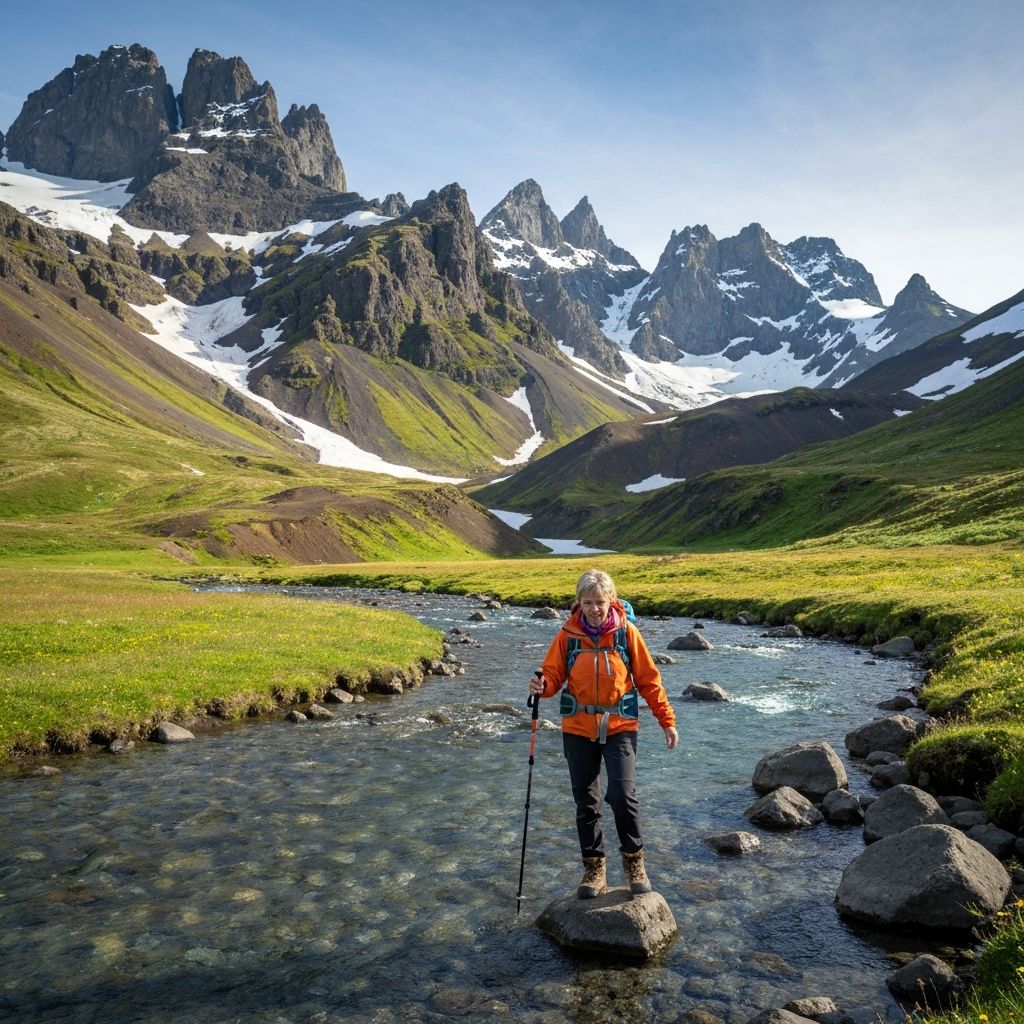
Unlike alpine hut systems in Europe or backcountry camping in North America, Iceland's mountain huts occupy a unique middle ground. The Ferðafélag Íslands (Icelandic Touring Association) maintains simple but comfortable huts at day's end, providing bunk beds, cooking facilities, and crucially, dry spaces to reset after challenging weather. This infrastructure enables the trail to be accessible to a broader range of hikers while still preserving the sense of remoteness that makes the experience meaningful. Evening life in the huts takes on a communal quality, with hikers from different nations sharing meals and trail conditions in a dozen languages, united by mutual respect for the landscape's power.
The Environmental Paradox: Loving Iceland to Death
The trail's growing popularity poses genuine sustainability challenges. Annual traffic has increased from 12,000 hikers in 2015 to over 45,000 in 2025, and the fragile volcanic soil shows visible erosion in high-traffic areas. The Icelandic government has implemented a booking system that caps daily starts and requires all hikers to attend a mandatory environmental briefing. These measures, while controversial among purist backpackers, represent a pragmatic middle path between preservation and access. The briefing includes sobering statistics: vegetation in Iceland's highlands grows one centimeter per decade, meaning a single footstep off-trail can cause damage that will be visible for generations.
Beyond Laugavegur: The Extended Fimmvörðuháls
For those seeking to extend the experience, the Fimmvörðuháls trail adds 25 kilometers from Þórsmörk to Skógar, passing through the dramatic terrain created by the 2010 Eyjafjallajökull eruption. This extension includes a descent past 26 waterfalls and offers a fitting conclusion to the journey, transitioning from volcanic highlands back to coastal lowlands. The extended route requires an additional two days and more challenging navigation, but rewards with solitude—fewer than 20% of Laugavegur hikers continue to Fimmvörðuháls, making it a natural filter for those seeking deeper wilderness engagement.