Mount Toubkal has an unusual profile in world mountaineering: a 4,167 metre summit reachable by fit walkers in two days from a village an hour and a half from Marrakech airport. That accessibility is both the attraction and the central hazard. The ascent involves roughly 2,500 metres of altitude gain from Imlil in two days, which is a faster rate than altitude medicine recommends, and the environment above 3,000 metres is dry, cold and windy in a way that surprises people who arrived from a warm city the previous morning. The result is a peak where the mountain is not technically difficult and the preparation is the whole problem.
Route Options and Their Character
The standard route from Imlil via the Sidi Chamharouch shrine to the Toubkal refuge is a well-graded trail with a mule track for most of the approach, involving about 1,400 metres of ascent to the refuge at roughly 3,200 metres. The summit day then adds a further 950 metres over talus and scree, with a short section of easy scrambling near the top in summer conditions and consolidated snow in winter. Alternative approaches exist, including the longer and quieter route via the Azzaden valley, which adds a day and significantly improves both the experience and the acclimatisation. Walkers who have the time should consider it seriously: the Azzaden approach is less eroded, more varied and transforms the altitude profile from marginal to reasonable.
Altitude Is the Primary Risk, Not Terrain
The dominant medical problem on Toubkal is acute mountain sickness and, in serious cases, high-altitude cerebral or pulmonary oedema. A 2,500 metre gain over two days exceeds recommended ascent rates, and the peak's popularity means many walkers ascend with insufficient acclimatisation and no plan for descent if symptoms develop. The practical mitigation is unglamorous but effective: add a night at a lower intermediate altitude, walk slowly on the summit day, hydrate aggressively, and treat any worsening headache, nausea or breathlessness at rest as a signal to descend immediately rather than to rest and reassess. Descent is the treatment. Recognising that early is the most important piece of judgement the route demands.
Water, Dryness and the Cost of Ignorance
The High Atlas is a dry mountain range and the dryness is underrated because the surrounding region is associated with heat rather than aridity. Above 3,000 metres, cold dry air combined with wind and exertion produces high insensible water losses, and the symptoms of dehydration overlap neatly with those of mild altitude illness, which is why the two problems compound and confuse each other. Streams on the standard route are reliable at lower elevations but unreliable above the refuge, and the water is often used for irrigation and livestock, so treatment is advisable. The practical approach is to begin the summit day fully hydrated, carry at least two litres, treat all water, and avoid alcohol entirely on the ascent, which increases dehydration and worsens sleep at altitude.
Winter Conditions Change Everything
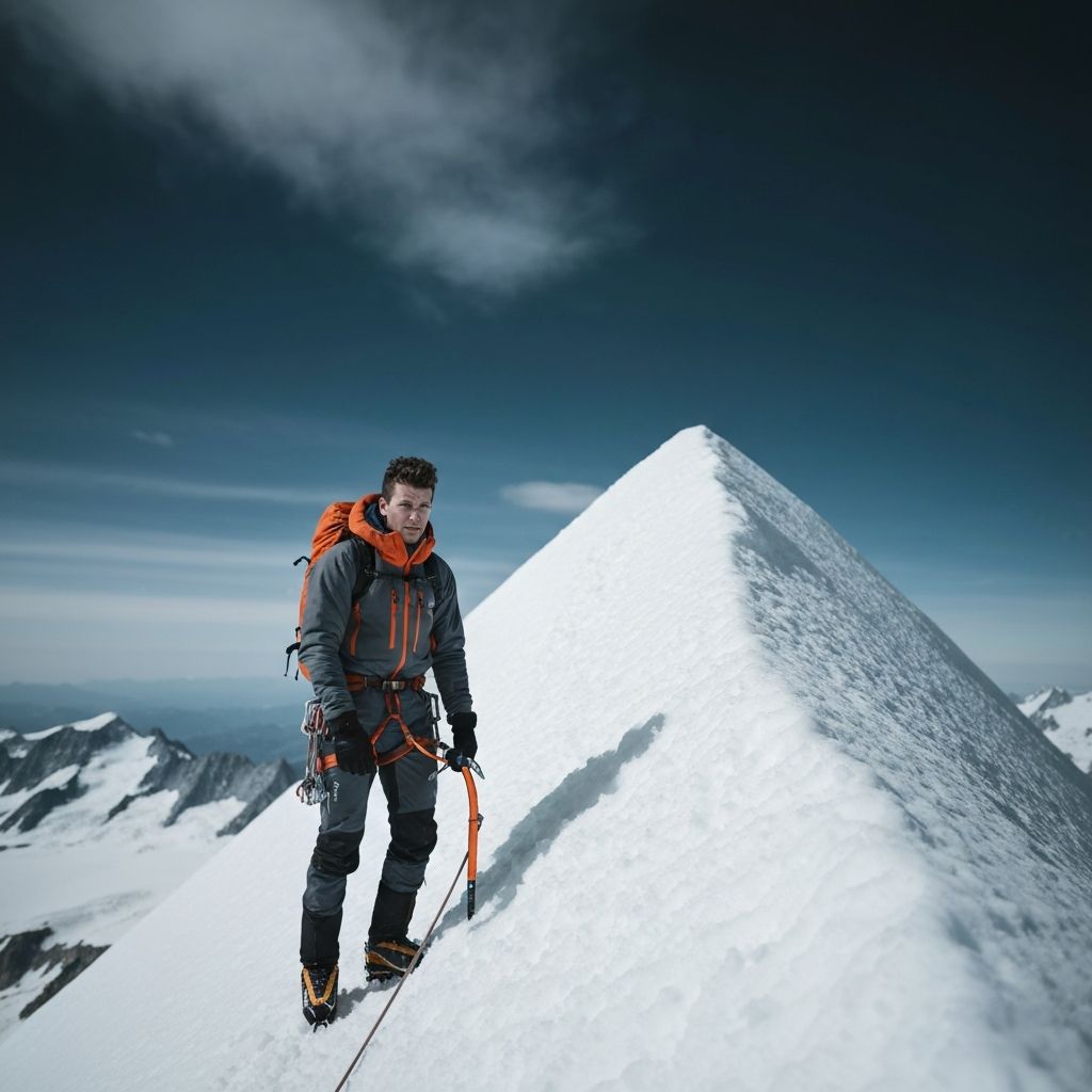
The step from a summer hike to a winter ascent is substantial and is underestimated every season. From roughly November to April, the upper mountain commonly carries snow and the summit day requires crampons, an ice axe and the ability to use them, plus an early start to avoid softening snow and afternoon wind. The refuge at 3,200 metres is cold, and the difference between a stove-equipped, properly insulated kit and a summer kit is the difference between a difficult day and a dangerous one. Guides in Imlil are experienced and hiring one for a winter attempt is a reasonable allocation of money; the equipment is not rentable locally in any reliable sense, so winter climbers should bring their own technical kit.
Planning an Ascent That Respects the Mountain
Build in one extra day, whether at Imlil or on the Azzadene approach, and use it to acclimatise rather than to move faster. Start the summit day before dawn, because afternoon wind on the upper mountain is predictable and unpleasant. Carry a filter and treat all water above the village. Bring layers for sub-zero wind even in summer, since the summit can be around 0 °C with wind chill while Marrakech is above 30 °C the same day. Hire a local guide if you are unfamiliar with talus, snow or altitude, and pay for the mule to carry loads above Imlil if your objective is enjoyment rather than self-sufficiency. Toubkal rewards humility more than fitness.
References
Data sources, standards and publications consulted for this article. Where a figure could not be traced to one of these, we say so in the text rather than presenting it as verified.
- [1]Altitude illness prevention and treatment guidelinesWilderness Medical Society · 2024
- [2]High Atlas conservation and protected area informationHaut Commissariat aux Eaux et Forêts et à la Lutte Contre la Désertification (Morocco) · 2025
- [3]Moroccan national tourism data and mountain tourism guidanceMoroccan National Tourist Office · 2025
- [4]UIAA mountain safety and altitude guidanceInternational Climbing and Mountaineering Federation (UIAA) · 2025
Giulia is based in Bolzano and has walked every stage of the Alta Via 1 more than twenty times across two decades.
Equipment referenced in this article
Each item has its own specification sheet with full measurements, pricing and verdict.
Tap an item to expand specifications, or open its full record in the database.